Our Meteorological Products
Three specialized applications for complete meteorological operations

AeroMet ARFOR — Local Area Forecast & Takeoff Weather
A comprehensive aviation weather management system for creating, validating, approving, and distributing Local Area Forecasts (ARFOR) and Takeoff Weather reports. Built for meteorological departments operating at airports and regional forecast centres.
- Local Area Forecasts with upper wind data across 15 altitude levels (300m to 16,000m)
- Multi-row Takeoff Weather with wind, temperature, QFE/QNH pressure parameters
- FSM workflow: New → Submitted → Validated → Approved with audit trails
- Automatic PDF and TXT report generation on approval
- Public reports portal for browsing and downloading without authentication
- Four permission groups: Viewer, Encharge, Supervisor, Admin
Capabilities
| Capability | Details |
|---|---|
| Report Types | Local Area Forecast (ARFOR), Takeoff Weather |
| Workflow | New → Submitted → Validated → Approved / Rejected |
| Upper Wind Levels | 15 altitude levels (300m to 16,000m) — direction, speed, temperature, remarks |
| Export Formats | PDF, TXT — auto-generated on approval |
| Form Configuration | JSON-driven — no code changes needed to modify fields |
| Access Control | Role-based: Viewer, Encharge, Supervisor, Admin |
| Public Portal | Unauthenticated access for browsing and downloading approved reports |
| Technology | Django, PostgreSQL/MySQL, WeasyPrint PDF, Django FSM |
AeroMet METAR — Aviation Weather Reporting
A WMO-compliant METAR management and publishing system for airports. Enables meteorological observers to create, parse, validate, approve, and display real-time aviation weather reports with live dashboards for pilots and air traffic control.
- METAR and SPECI report creation with WMO standard compliance
- Automatic METAR string parsing and generation
- Live display dashboards with 30-second auto-refresh for operations centres
- Aerodrome Warning (AD Warning) management with approval workflow
- Bulk METAR file import with validation and FTP dissemination
- IMD-formatted display pages and print-ready PDF outputs
Capabilities
| Capability | Details |
|---|---|
| Report Types | METAR, SPECI, Aerodrome Warnings |
| Workflow | New → Submitted → Validated → Approved / Rejected |
| Weather Parameters | Wind, visibility, RVR, weather phenomena, cloud layers, temperature, dewpoint, QNH/QFE |
| Live Display | Real-time METAR dashboard with 30-second auto-refresh |
| Validation | WMO compliance, regex patterns, ICAO code validation, rate limiting |
| Dissemination | FTP-based file transmission, bulk import/export |
| Reporting Intervals | Configurable: 10-minute to 24-hour cycles per station |
| Technology | Django, MySQL, WeasyPrint PDF, Django FSM, DataTables |
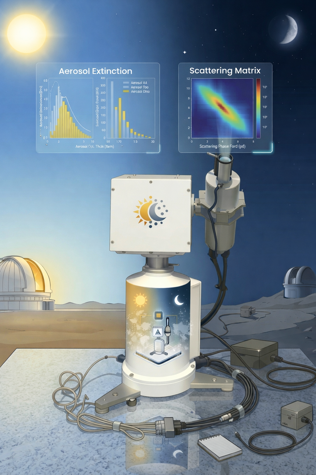
SKYRAD Processor — Sky Radiometer Data Analysis
A complete Python implementation of the SKYRAD V4.2 processing pipeline with an integrated web dashboard. Processes raw sky radiometer data to produce Level 2.0 aerosol optical and physical property products, with automated aerosol classification and time-series visualization.
- 5-stage processing pipeline: dtform → sproc5 → asy → CSSR2 → cal_f0
- Multi-wavelength Aerosol Optical Depth (AOD) and Ångström exponent analysis
- Automated aerosol type classification (urban/industrial, dust, marine, etc.)
- Interactive Chart.js dashboards for AOD, SSA, and sky condition time-series
- Supports POM-01 (7 channels) and POM-02 (11 channels) instruments
- PDF analysis reports with comparison plots and multi-page data tables
Capabilities
| Capability | Details |
|---|---|
| Processing Pipeline | dtform → sproc5 → asy → CSSR2 → cal_f0 (Improved Langley) |
| Output Products | Level 2.0 optical properties, Level 2.0 physical properties |
| Aerosol Parameters | AOD, Ångström exponent (ALFA), Fine Mode Fraction, Single Scattering Albedo |
| Instruments | POM-01 (7 wavelengths), POM-02 (11 wavelengths) |
| Visualization | Chart.js time-series dashboards — AOD, Alpha, SSA, sky condition |
| Classification | Automated daily aerosol type identification (urban, dust, marine, biomass) |
| Station Support | Multi-station: Delhi, Jaipur, Kolkata, Ponmudi, Tirupati, and more |
| Technology | Pure Python (no Fortran), Django, Chart.js, PostgreSQL/MySQL |